Sales territory optimization is the process of creating, distributing, or reallocating territories among a company’s sales representatives to optimize efficiency and maximize profit.
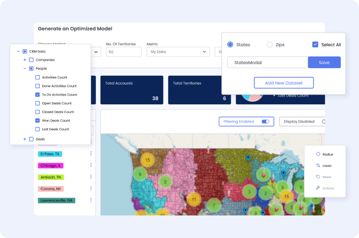
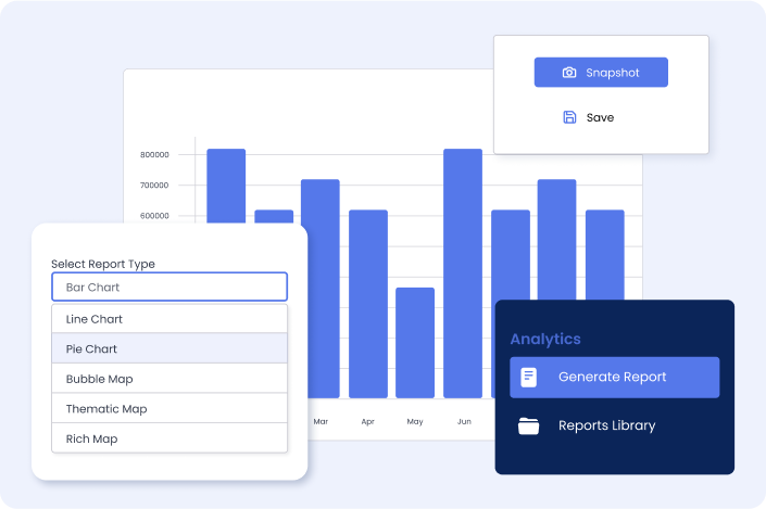
Dividing the territories and assigning them manually to sales reps can be daunting for managers. WeMapSales, a geospatial intelligence tool, takes the guesswork out of the process by combining four powerful data analytics applications, including geo-mapping, automated territory optimization, territory management, and analytics reporting capability, into one cloud-based solution.
Hours delivered back to the business
SOX compliance in Settlement process automation
Success rate of bot case completion
For functional release of OBT, RTS and OGS
The problem
Company
In 2017, WeMapSales set out to create an affordable cloud-based automated territory optimization application for small and mid-sized businesses. Due to its high starting price, historically, only large enterprises could afford this tool as a desktop application.
Problem statement
Building an automated territory model that is optimal, balanced, geographically contiguous and compact was a complex non-polynomial problem, which posed a technical challenge.
Where we stand today.
Today, WeMapSales goes far beyond the initial challenge we set out to address. We’ve incorporated an array of features such as multi-metric, multi-weight, and multi-constraint territory optimization to help businesses of any size maximize coverage, pair the right reps with the right accounts, and generate more revenue. At present, a number of well-established and known companies are using our APIs to drive their territory planning and optimization applications.
Challenges deep-dive
Geo visualization
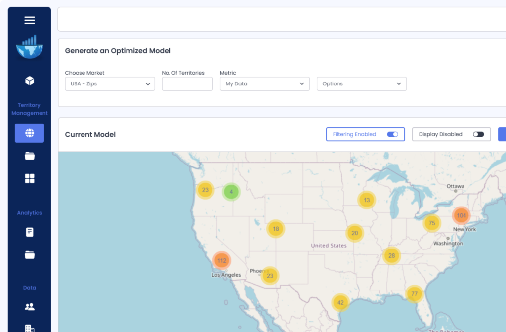
- Interactive Maps. Given that WeMapSales functions as sales territory mapping software, the initial challenge revolved around achieving interactive map utilization at the granularity of zip code levels.
- Optimal solution. The central and pivotal challenge for WeMapSales as a software was determining how to build an automated, optimal, contiguous, and spatially efficient territory model.
- Multiple CRMs.
In its startup phase, WeMapSales experienced evolving business priorities without predefined timelines, yet pursued with a determined focus, particularly concerning the CRMs they intended to support.
Solution
Intelligent territory optimization engine.
Upon the convergence of ideas from WeMapSales with the expertise of the distinguished professionals at Alagzoo, an intelligent territory optimization engine was created. 


How Alagzoo helped?
Geo visualization
- Interactive Maps Given that WeMapSales functions as sales territory mapping software, the initial challenge revolved around achieving interactive map utilization at the granularity of zip code levels.
Intelligent Territor Optimization
- The Game changer.Alagzoo developed a cutting-edge territory optimization engine that not only creates balanced, contiguous and compact territories., but is light years ahead of its competitors in terms of performance.
Integration with CRMs
- Working with data
Alagzoo integrated WeMapSales with multiple CRMs like Salesforce, Pipedrive, MapMyCustomers, Excel etc with heavy focus on performance to minimize the user waiting time.
2018
Start of the project
2019
Territory Management solution in place.
2019
Started work on the territory optimization problem.
2019
Alagzoo comes up with groundbreaking solution.
The optimization engine goes on to power others in sales planning space as SaaS.


